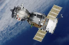
Zimbabwe is planning another satellite launch, with ZimSat-3 and ZimCom-1 among the options under development. The country wants better access to data from space, along with stronger tools for communication, farming, and public safety.
Professor Fanuel Tagwira shared the plans at a major science gathering in Harare. As a senior official in the Ministry of Higher and Tertiary Education, Innovation, Science and Technology Development, he spoke about how far Zimbabwe has come in building its space program.
Back in 1996, Zimbabwe had to use satellite pictures from other nations. That began to change with ZimSat-1 in 2022, followed by ZimSat-2. Tagwira said many people had doubted the country could send a satellite into orbit, yet both projects went ahead.
The next step could take two forms. ZimSat-3 would add to the country's existing space fleet, while ZimCom-1 is being planned as a communications satellite. Officials have not given a firm launch schedule or settled on which project will fly first.
And there are quite a few practical uses for the data. Farmers could track crop health and land conditions, while disaster teams could use satellite images to watch for floods or other threats. Environmental monitoring and national security are also among the areas Tagwira wants the technology to serve.
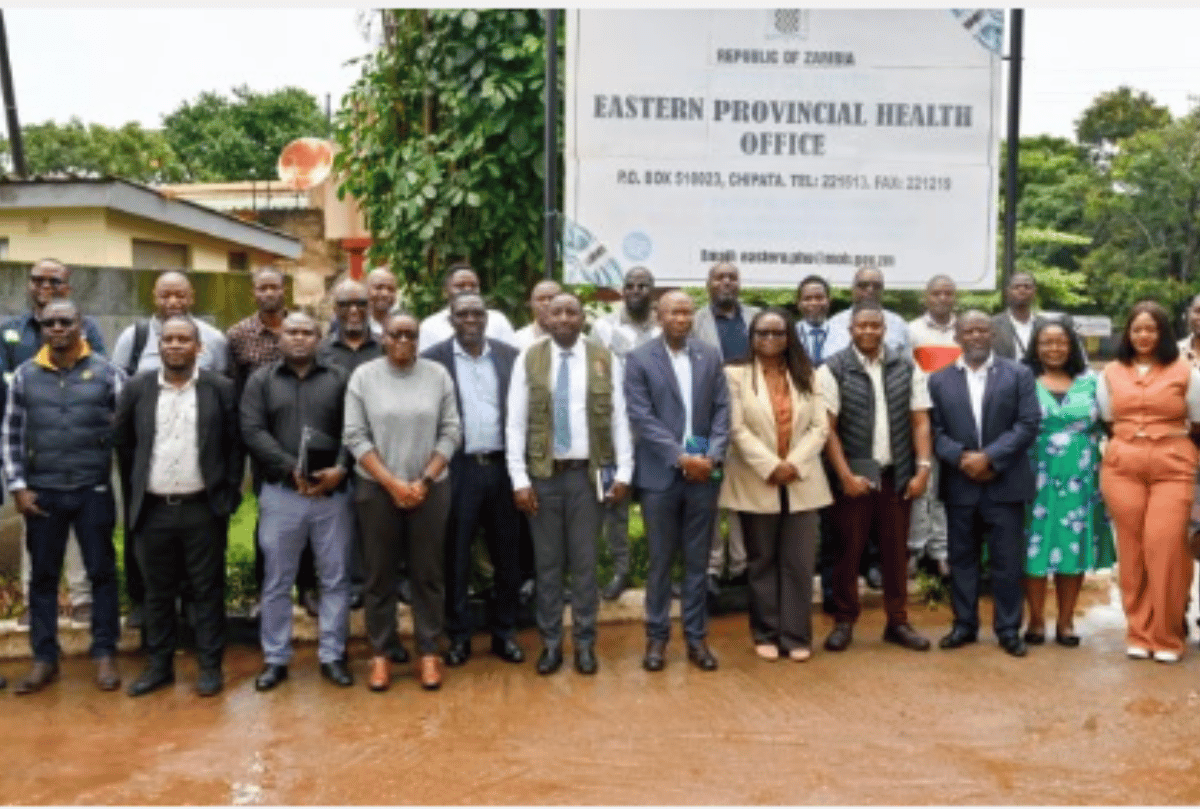
The announcement came at the African Association of Remote Sensing of the Environment, or AARSE, International Conference. Scientists and tech specialists from across the continent met in Harare to share research and discuss how space tools could help their countries grow.
University of Zimbabwe Vice-Chancellor Professor Paul Mapfumo also spoke at the event. He stressed the value of Earth observation and mapping data, especially when governments need to plan for climate change or make choices about public services and development.
There is a wider African effort behind this work. The African Union's Agenda 2063 and African Space Strategy both support greater technical capacity across member states. The African Space Agency could help nations share skills, research, and resources rather than working in isolation.
Money remains a real challenge, though. Many countries still need far more funding for satellites, skilled staff, and ground systems. Without that support, getting useful data into the hands of people who need it can be difficult.
AARSE has spent 30 years promoting the use of satellite images and location-based data across Africa. Its latest gathering gave researchers a chance to compare projects and make the case for more investment in local technology.